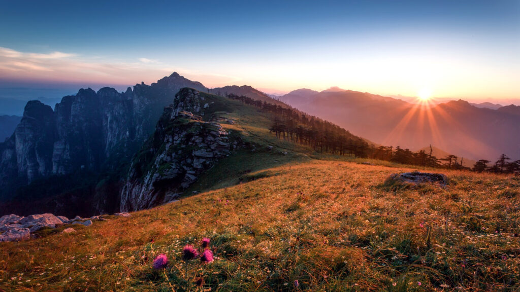
The relief of China is above all marked by the mountain. Did you know that 40% of China’s territory is above 2,000 meters above sea level? The altitude actually decreases from west to east, from the Himalayan range to the coasts of rich southeastern China.
There are generally three major sets in relief in China. First, a continental escarpment, running from the Great Khingan to the Yunnan-Guizhou Plateau via the Taihang Mountains; then, the arid plateaus of the north and the west of the fertile plains of the east, where the vast majority of the population and intensive agriculture are concentrated. Of course, the Chinese must make the most of the little cultivable land.
Western China: Himalayas
The best known at altitude. The Himalayas separate the Chinese world from the Indian world. The chain culminates at 8,849 meters at Everest, located on the Sino-Nepalese border. Behind the Himalayas, going north, is the Tibetan Plateau, framed by the Karakoram and the Kunlun Mountains. These separate into several branches as one moves east from the Pamirs.
Central China: from Yunnan to the Great Wall
Central China is on average lower than western regions. The relief consists of medium mountains, plateaus, hills and basins. But we can distinguish several often well-compartmentalized subsets.
To the west, if we take the road again from Tibet, the Yunnan-Guizhou plateau rises in two stages, reaching 1,200 and 1,800 meters respectively, in the direction of the steep mountains marking the eastern limit of the Tibetan plateau. . The south of this set is more marked by altitude: Yunnan is distinguished by its karstic relief and its steep-sided valleys.
Stretching from east to west for nearly 1,500 km, the Qinling Mountains are a major mountain range in central China, which form the main physical barrier between the Wei River Valley in the north and the Sichuan Plain in the south ; they also constitute the southern limit of the Lœss plateau. It can show up to 3767 meters. South of the Qinling are the densely populated and heavily industrialized areas of the Yangtze Plains and upstream the Sichuan Basin. Secondary to the Qinling as an inner border, the Nanling Range is the southernmost of the ranges crossing the country from east to west. South of Nanling, the tropical climate allows two annual rice harvests. To the south is the Pearl River Basin.
Finally, let’s go back to the north of this “central” China, to see the Great Wall which stands on the Mongolian plateau at an average altitude of 1,000 meters; it is crossed from east to west by the Yin Mountains at an altitude of about 1,400 meters. To the south is the largest loess plateau in the world, covering an area of 600,000 km2 straddling the provinces of Shaanxi, Gansu and Shanxi, as well as part of the Níngxià Autonomous Region.
East China: the exception of Fujian
Apart from the mid-mountains in the southeast (Fujian), the coastal regions are made up of low-lying plains and hills suitable for agriculture and high human densities. It is in this region that the three major Chinese rivers flow into the sea, forming deltas. The southern coast is more indented than that
So many steep landscapes to visit for hiking when China reopens to tourism!